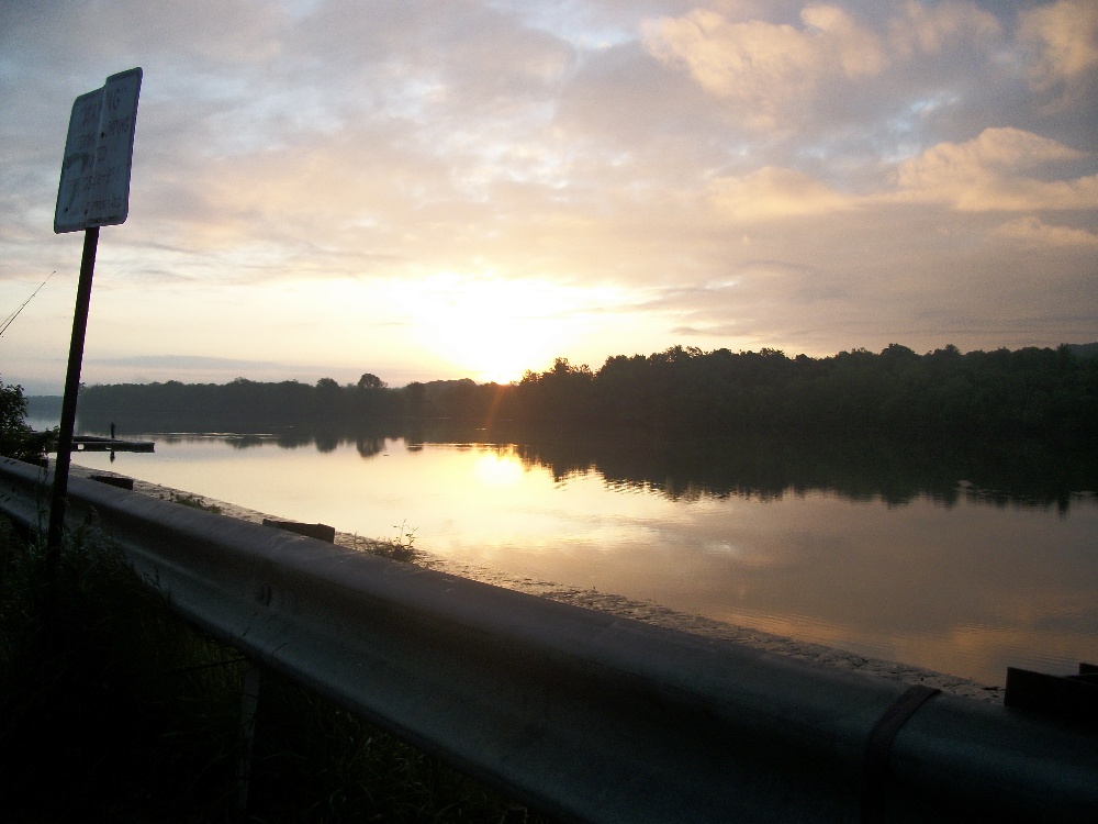
Connecticut River Fishing Spot
- County: Middlesex
- Public Fishing: Yes
- Mean Depth: 20'
- Max Depth: 75'
- Last Modified By: davetroy on 06/05/11 09:33 AM
- Ask about Connecticut River in our Fishing Forums
Photos
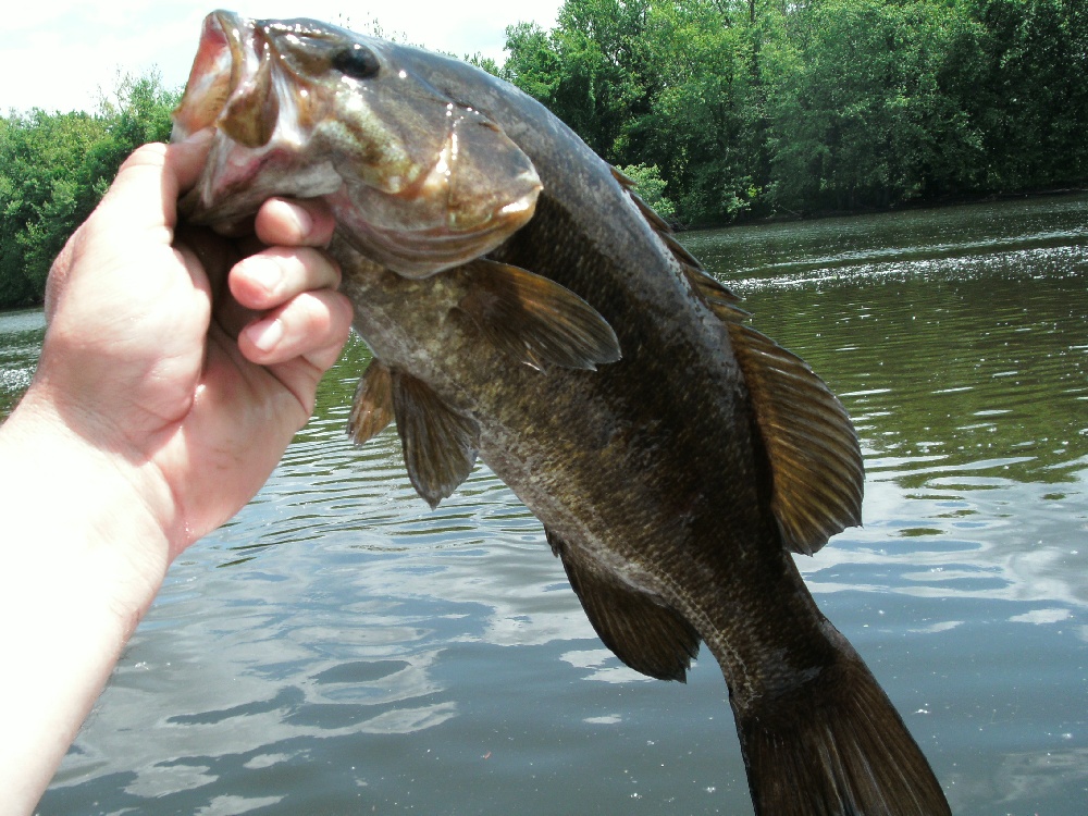
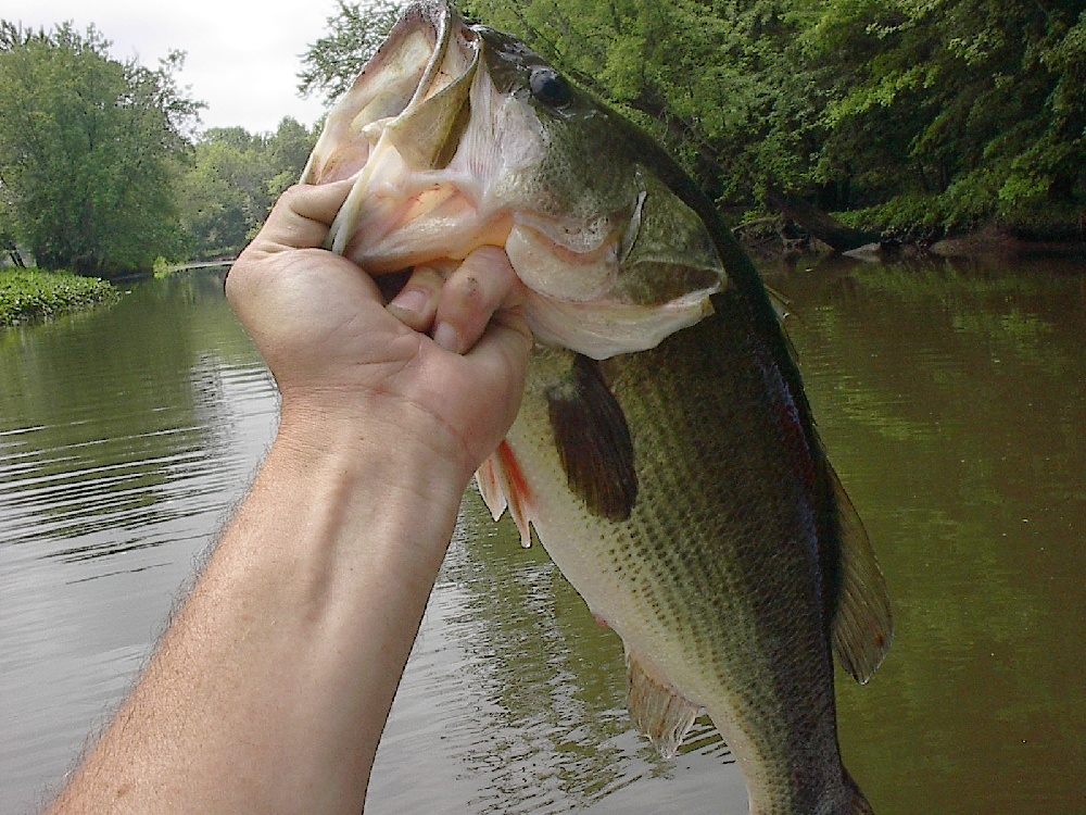
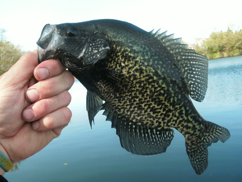

Fish Species
Comments
-
ok ive fished this river so many times but i have yet to catch see any one else catch or hear bout trout in the river so are there trout in here or not?
-
i have heard it is really good water for fishing.
-
can't wait to get back out on the big CT
-
I love the river, I want to launch at the Windsor Boat launch by the Bissell Bridge, anyone know anything about this spot?
-
wish me luck going there for the first time ever saturday.
-
My favorite place to fish!Lots of oppurtunities.
Connecticut River Baits and Tackle
Casting & Trolling Spoon;22 Check Prices
- Blue/silver Castmaster with bucktail
Saltwater Fly Check Prices
- Flies- Platinum Blonde 1/0, Gray white Flat wing Deceiver2/0 chartruese Closar 1/0
Jigging Spoon Check Prices
Roundhead Jig Check Prices
- black/silver shad killers
Herring Check Prices
- Chunks of Atlantic menhaden
Connecticut River Description
The Connecticut River is the largest river in New England, flowing south from the Connecticut Lakes in northern New Hampshire, along the border between New Hampshire and Vermont, through Western Massachusetts and central Connecticut into Long Island Sound at Old Saybrook, Connecticut. It has a total length of 407 miles (655 km), and a drainage basin extending over 11,250 square miles (29,100 km2). The mean freshwater discharge into Long Island Sound is 19,600 cubic feet (560 m3) per second. The river is tidal up to Windsor Locks, approximately 60 miles (97 km) from the mouth. The source of the Connecticut River is the Fourth Connecticut Lake in New Hampshire. Some tributaries include the Ashuelot, West, Miller's, Mill, Deerfield, White, and Chicopee rivers. (The Swift River, a tributary of the Chicopee, has been largely replaced by the Quabbin Reservoir which provides water to Boston.)