Thames River Fishing Spot
- County: New London
- Last Modified By: overstdr on 02/13/08 10:58 AM
- Ask about Thames River in our Fishing Forums
Photos
Fish Species
Comments
-
I had a sonversation with one of the employees at the Fish Connection in Preston. He says he has hooked, but not been able to land, several pike below the Greenville Dam. I've read that pike can handle some 'brackishness' so it would not be too surprising to me that pike have been caught in the Thames. Since it is a tidal river the closer you get to the Shetucket and Yantic Rivers the less brackish and more fresh it is.
-
there is pike listed one the line but where are they? found a report listing all the fish found in several samples taken from the river and pike was not represented since the first year. http://www.ct.gov/dep/lib/dep/fishing/fisheries_management/2010_inshore_survey_connecticut_river_shad_and_river_herring.pdf
-
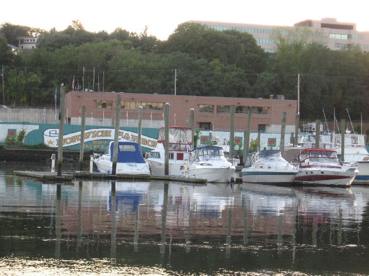
Great fishing with many accessible areas. Norwich Harbor,Buoy 17,Montville power plant,Gold star bridge, New london Fort trumbull fishing pier with lights, benches,rodholders in railings and clean bathrooms..
Great late nite summer fishing.
There is another walking pier behind bank street.new london
Thames River Baits and Tackle
Saltwater Baits Check Prices
- Green crabs cut in half on a 4/0
Gamakatsu Octopus hook - Green crabs cut in half
Saltwater Fly Check Prices
- Platium Blonde 1/0 and olive flatwing deceiver 1/0
Live Bait (Other) Check Prices
- eel, frozen squid
- live eals
- eel
Other Check Prices
- Live eel
- blue crab on chicken
- blue crab!
- chicken
- greenies
- crabs
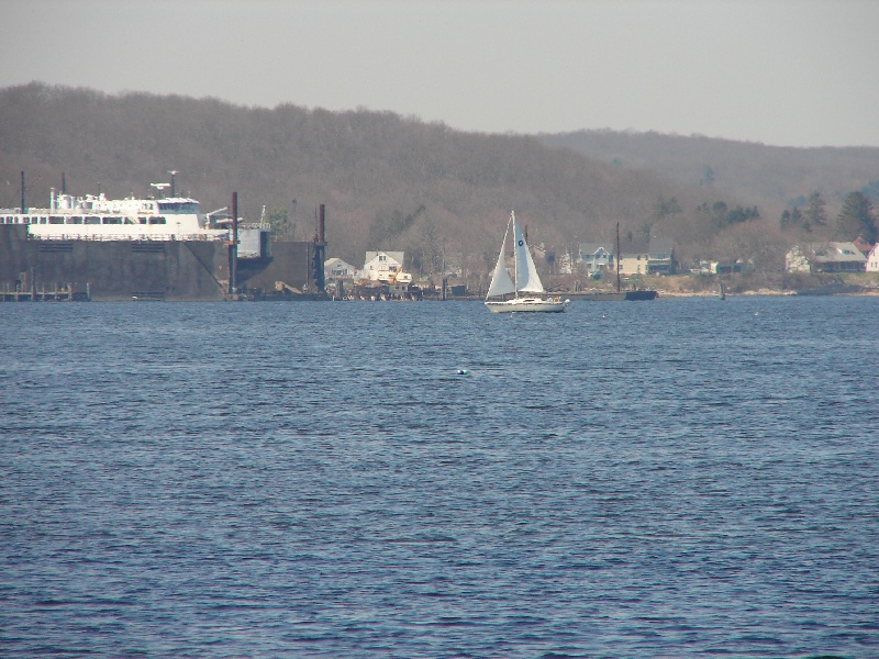
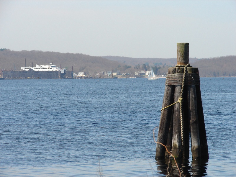
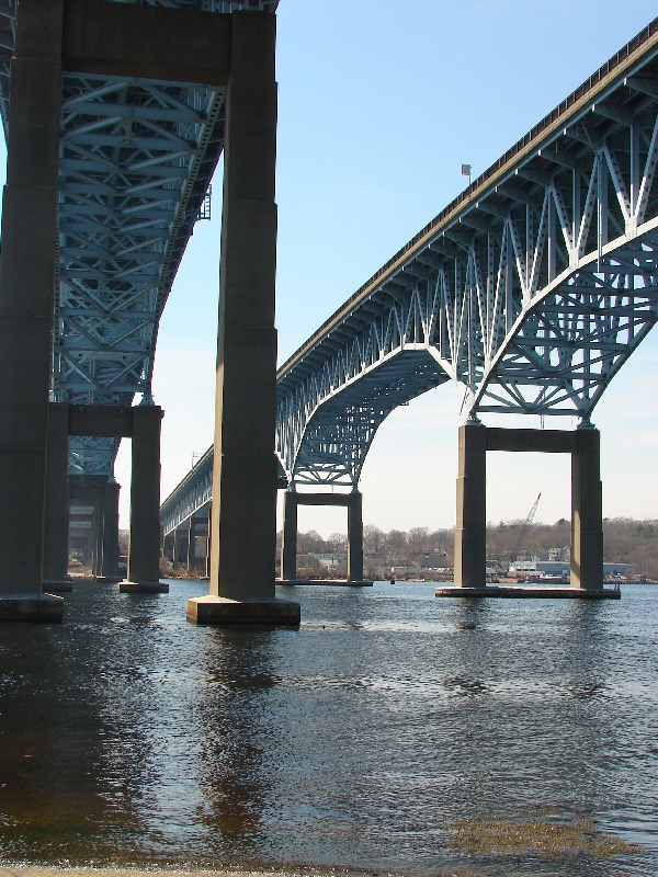
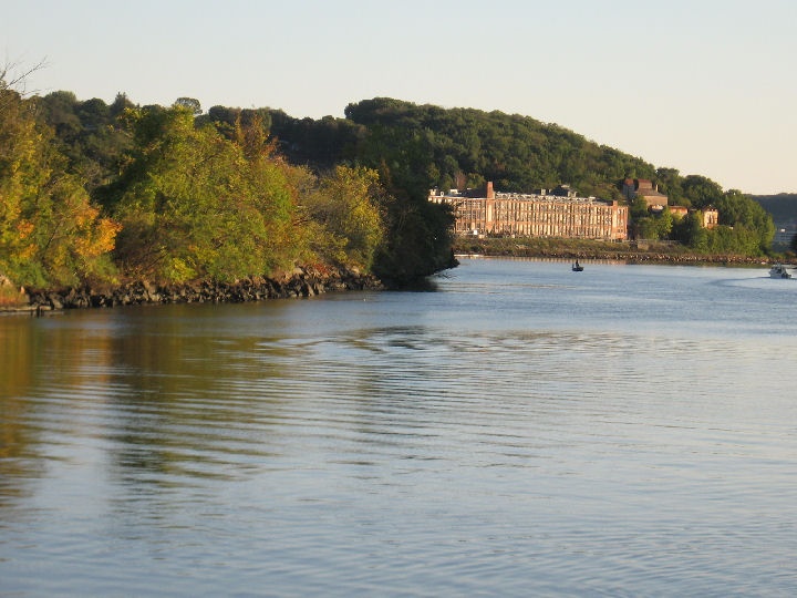
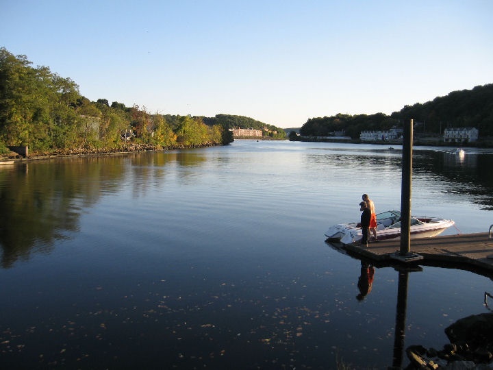
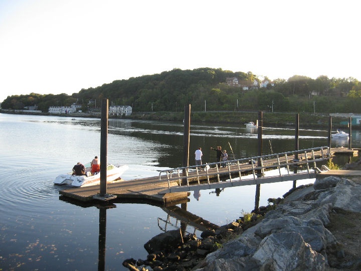
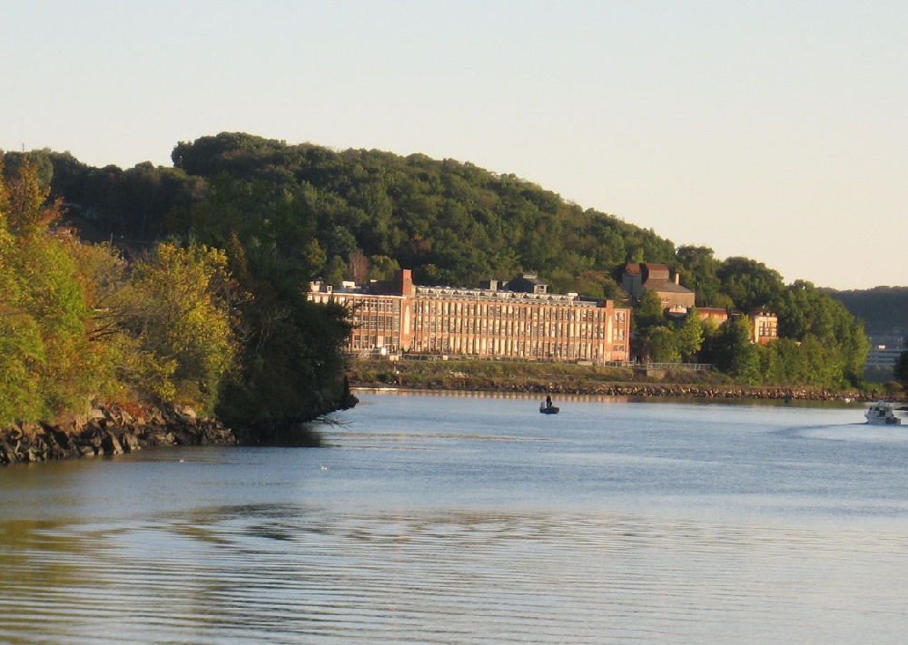
Thames River Description
The Thames River is a short river and tidal estuary in the U.S. state of Connecticut. It flows south for 15 mi. (25 km.) through eastern Connecticut from the junction of the Yantic and Shetucket Rivers at Norwich, to New London and Groton, which flank its mouth at the Long Island Sound.